Your Waterfall Resource
Select State
AL
MD
Submit a Waterfall
About
Links
Disclaimer
Home
Rating: 2.5/5
Confirmation: Personal Photograph, Visual
State: AL
County: Blount
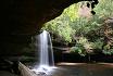
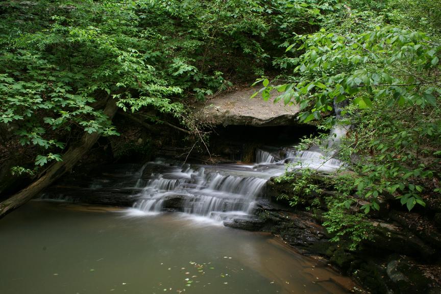
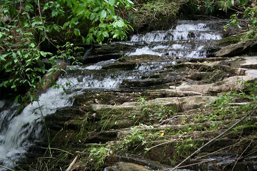
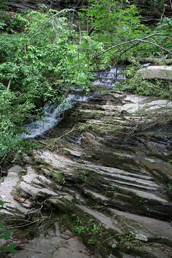
General Location: Sapsucker Branch between Nectar and Cleveland on Alabama 160
Lat/Long: 33 58.764N 086 36.982W
Google Map Link: map
Topographical Map Link: none
Description/Notes: This cascade can be found right off of Alabama Rt. 160. At the coordinates above, on the south side of AL-160 at the west bridge abutment where the road crosses Locust Fork there is a dirt/gravel/glass parking area. Park there, and walk towards Locust Fork (and away from the sound of rushing water) until you find the trail down to the bottom of the falls. The cascade runs almost the full drop in elevation from AL-160 down to Locust Fork, probably between 20-40 feet total drop, but some might only consider the final dozen or so feet the actual cascade. There is a small pool below the falls, marred somewhat the the road detritus, mostly retread, that has collected at the log jam around the pool. Water color and plant life suggest that with a little cleanup this area would be quite nice. Recent storms left a few small trees laying on the cascade's upper portion, preventing a decent photograph. These falls may be on private property, but are highly visited. Wear shoes and keep and eye on your dog, there is glass everywhere.
In the area there are also three covered bridges; Old Easley, a tiny little covered bridge if there ever was one, Swann, the longest surviving CB in Alabama, and Horton's Mills, which is the highest CB over a river in the United States, and is supported by two telephone poles at one end, leading me to decide that despite the 3 ton weight limit, my 4,000lbs of Ford wasn't going over it right after a few major storms. Check out this link for more information about Alabama's covered bridge collection. Also in the area is Palisades Park, a Blount county park. Heading towards the park on US-231 you will noticed that the sides of many hills have eroded away leaving cliffs. The park is located in an exposed area, and has quite a view. My gps says it was at 33 59.212N 086 27.604W (click for map), and the elevation was around 1270ft.
Additional Photographs:
Unless otherwise noted all images © Joshua Szulecki.