Your Waterfall Resource
Select State
AL
MD
Submit a Waterfall
About
Links
Disclaimer
Home
Rating: 2/5
Confirmation: Visual/Personal Photograph
State: AL
County: Talladgea
General Location: Talladega National Forest
Lat/Long: ???
Google Map Link: map
Topographical Map Link: none
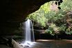
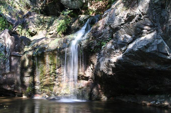
Description/Notes: A lovely little series of falls located in Talladega National Forest. The top segment consists of a 10-15ft straight drop topped by a small cascade. The middle segment is a 10-15ft cascade, and the bottom is a long, narrow cascading stream. The top segment is accessed via a narrow rickity metal staircase. Finding it can be tricky, your best bet is to follow my directions below.
From Talladega, proceed south on Alabama Rt. 77 towards Ashland. After passing the shooting range and the Porter's Gap trailhead, you will come to a an intersection with a sign for the falls, but you will probably speed right past it, as the speed limit is 55 and it is hard to see. The road name might be Horns Lake, but if you miss the sign, you will meet a few dozen miles of nothing, so you'll know you missed it. A few miles down the marked road or AL-77 you will encounter Clairmont Springs Road, which is also labelled for the falls. Follow the road for a long while, passed over railroad tracks and a an intersection to nowhere, and when you have just passed Blue Ridge Road, pay attention for a dirt road to your left. The sign for the trailhead is on the left side of the road, unfortunately it is parallel to the road and difficult to see. If you pass it, you'll again be nowhere, so you'll know. Drive down the small dirt road (frequently with wet potholes) until you reach a wide parking area. If you stand with your back to the road you just drove down, the trail to the falls will be at your 2 O'clock, and you will know you are in the right stop if after a few hundred feet you encounter an informational Kiosk with names on it. Follow the stream uphill, and you'll find the falls.
Additional Images:
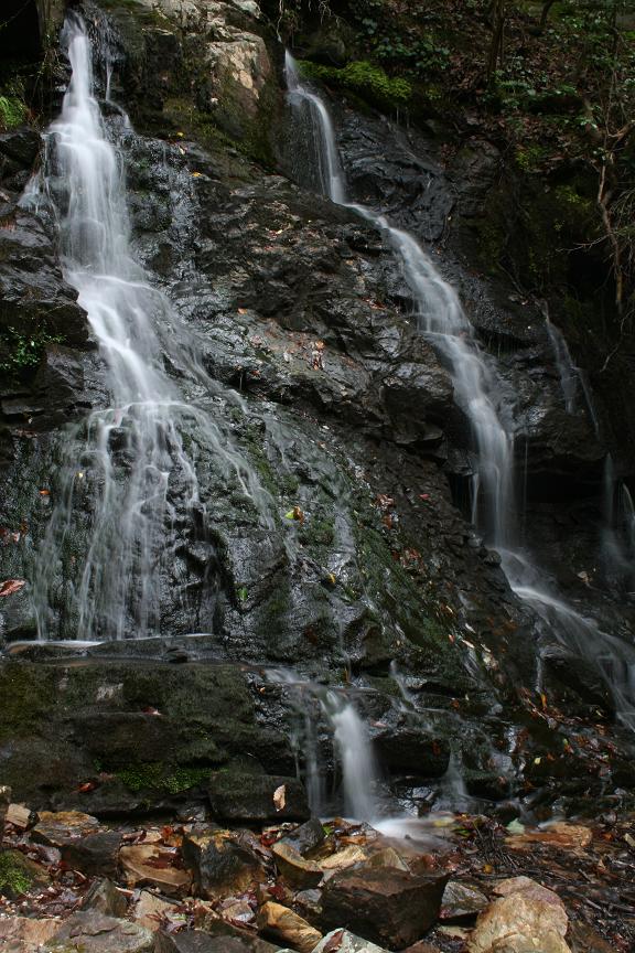
The middle cascade.
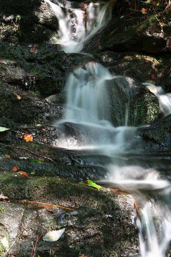
The lower cascades are somewhat smaller. I think some of the water goes underground, or at least under the rocks.
Unless otherwise noted all images © Joshua Szulecki.